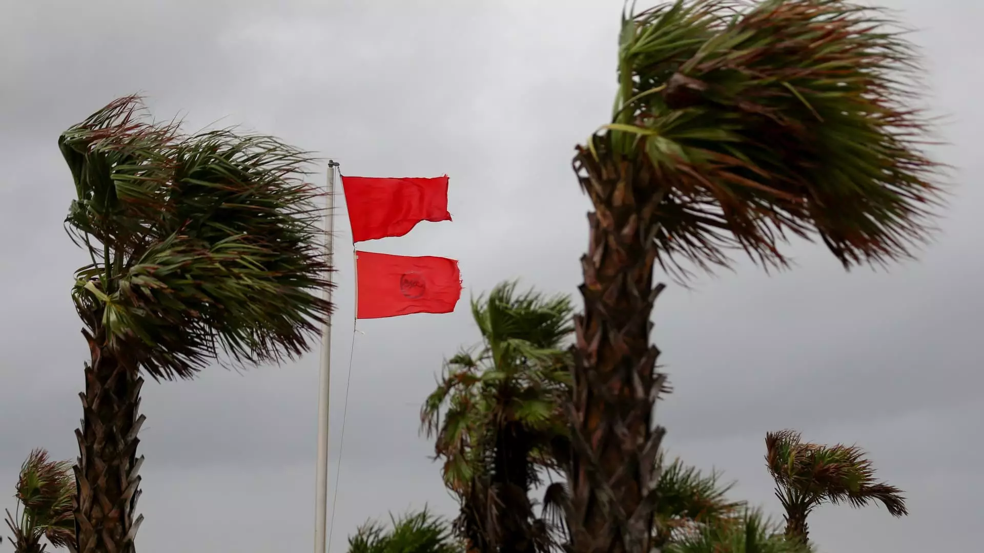
Cities across the eastern U.S. are making necessary preparations as a significant storm system approaches. This upcoming weather event is expected to bring torrential rain, high winds, and severe thunderstorms to the East Coast, disrupting weekend plans for many individuals. The storm will originate in the Gulf of Mexico on Saturday and gradually travel towards the eastern seaboard, potentially impacting the region for several days.
As the storm develops, flood and wind alerts have already been issued for portions of Florida. The Weather Channel has also indicated the possibility of isolated tornadoes within the severe weather. Florida Power & Light Company, the state’s largest power utility, is diligently responding to outages caused by the storm. In a statement, they advised people to stay away from downed power lines and damaged electrical equipment. Currently, over 7,000 customers are without electricity.
Sunday holds the promise of torrential rain for nearly the entire state of Florida. Alongside the heavy downpour, severe thunderstorms with potential nocturnal tornadoes may impact areas such as Tampa and Orlando. Floridians are urged to remain cautious and vigilant throughout the day.
As the storm intensifies, it will move up the East Coast, affecting various regions along its path. The Mid-Atlantic Coast is expected to experience heavy rain and strong winds. In New York, rain is anticipated to begin late Sunday morning and continue until Monday night. The National Weather Service has issued a high wind watch for several areas, including Brooklyn, Queens, Long Island, coastal Connecticut, and New London County. Additionally, wind advisories have been issued for Manhattan, the Bronx, Staten Island, southern Westchester, and much of interior southern Connecticut. The potential for flooding has prompted the New York State Division of Homeland Security & Emergency Services to advise residents in specific regions to be prepared.
Gov. Kathy Hochul has emphasized the need for preparedness, stating that her office will closely monitor conditions and assist local governments in the event of flooding. It is crucial for individuals residing in the Mid-Hudson Valley, eastern Catskills, southern Capital Region, and parts of Long Island to remain alert and take necessary precautions.
While cities along the East Coast brace for the approaching storm, Boston experienced a mix of sun and clouds on Saturday, as reported by the National Weather Service. However, it is essential for residents to stay updated on weather alerts as conditions may change.
The impending storm system poses a significant threat to the eastern U.S., particularly Florida, the Mid-Atlantic Coast, and New York. With the potential for heavy rain, strong winds, and isolated tornadoes, it is essential for residents to take precautionary measures and stay informed about the latest weather updates. Stay safe and be prepared for the challenges that lie ahead.

Leave a Reply